Orthorectified Aerial Imagery
What is it?
Orthorectified Aerial Imagery is a product that is becoming a very popular in the surveying industry today. Many individuals today have experienced this type of imagery and not even know it. If you have ever used an online map application such as Google Maps, Bing Maps or perhaps even your local GIS website, you have encountered orthorectified imagery. To get a better understanding of what it is compared to any regular aerial image, an orthorectifed image is an image that has been geometrically corrected so that the scale is uniform throughout the entire photo.
How do we do this?
Georgia Land Surveying has a fleet composed of three different UAS (Unmanned Aerial System) platforms to accomplish a variety of different of jobs. Depending on the size of the property, accuracy and resolution desired by our clients, we will select one of our UAS to fly the designated site. Once on site, the UAS will acquire many hundreds of photos and then those photos are taken back to the office to compile through a specialized software to produce the final product. In today’s tech-driven versatile world, the deliverables can be offered in a variety of different media formats that best suit your needs.
Who can benefit and why is it useful?
There are many industries that can benefit for the use of orthorectified aerial imagery for their business needs. Such industries include:
- Architecture / Engineering / Construction
- Surveying
- Real Estate
- Land Development
- Solar Power
- Electric & Pipeline Transmission
- Agriculture
- Public Safety
- Legal
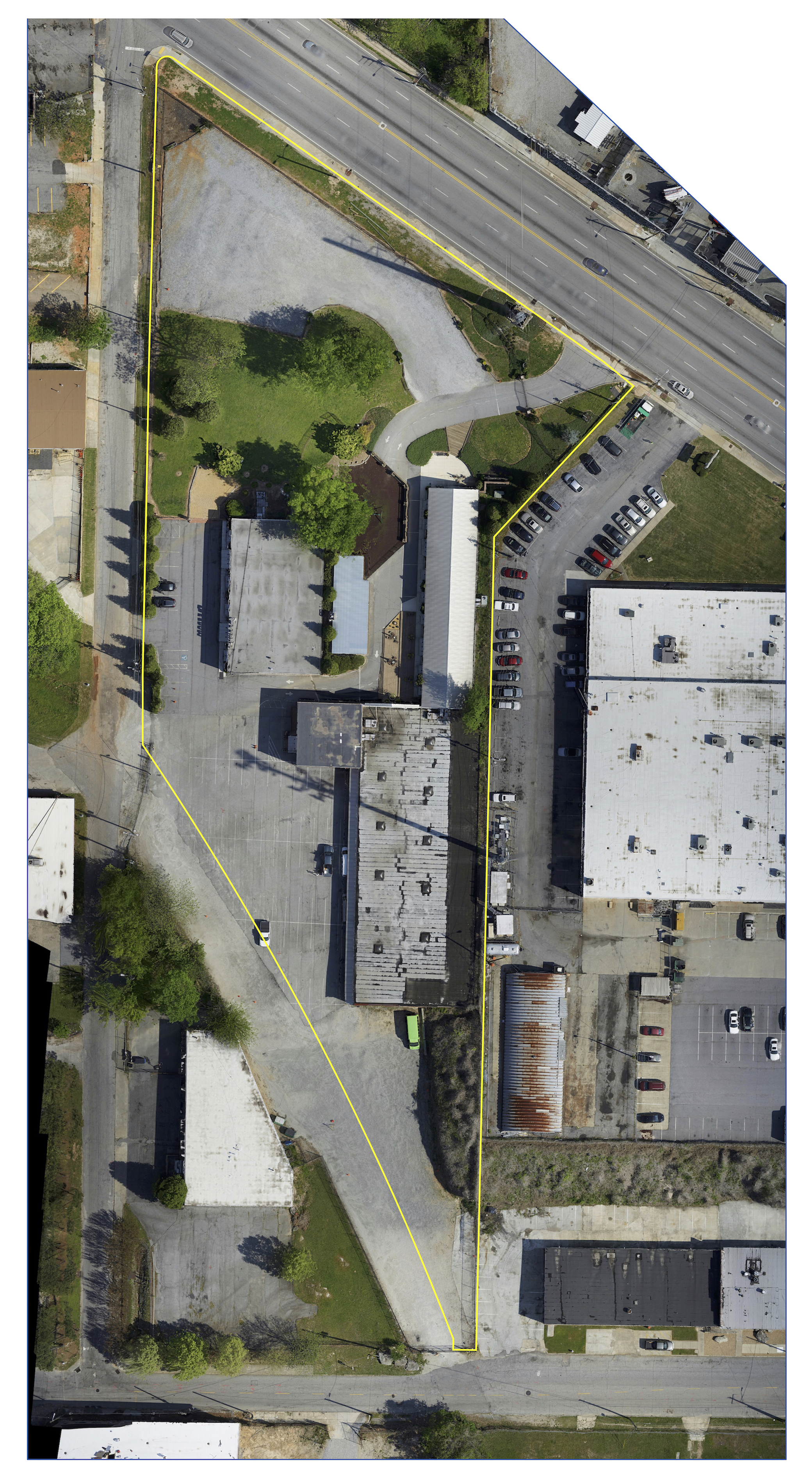
Listed on this page are some of the previous orthorectified imagery projects that we’ve done in the past. As you can see, we are able to overlay many different types of geospatial information such as property lines, setbacks, easements, planimetric features, etc.

Why hire Georgia Land Surveying?
At Georgia Land Surveying, we have all the tools needed to take on variety of projects. Since the cost of mobilizing UAS are relatively low compared to large scale aerial platforms, we can provide you great high resolution imagery without costing you a fortune. Please reach out to us to see how we can help you on your next project!