In many instances with traffic accidents or questions as to fault, sight distance at the scene can provide important evidence to prove a claim or resolve a dispute. Georgia Land Surveying has the skill and experience to conduct accurate and reliable sight distance surveying for situations like these.
WHAT IS A SIGHT DISTANCE SURVEY?
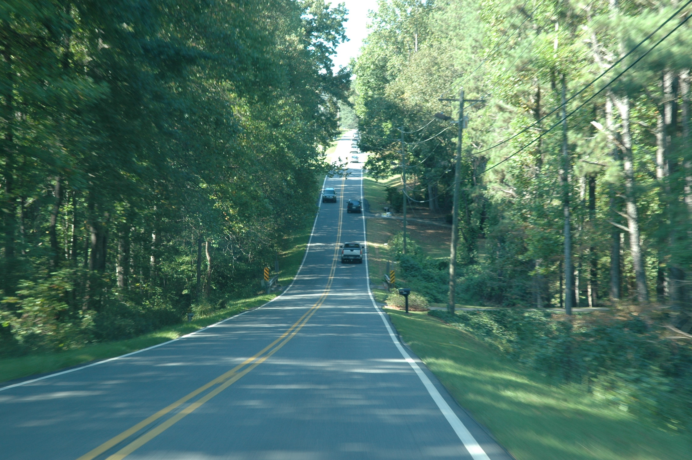
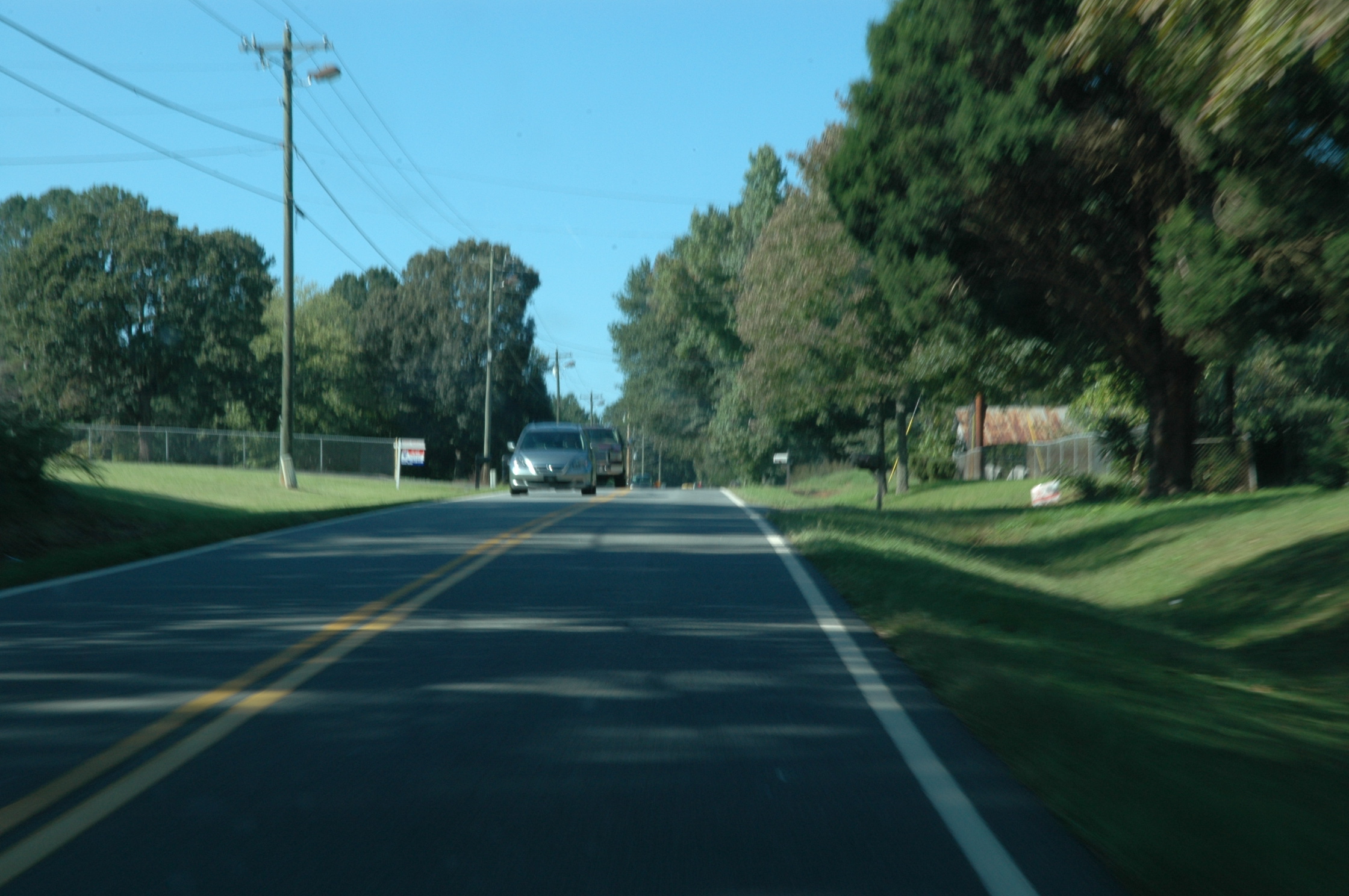
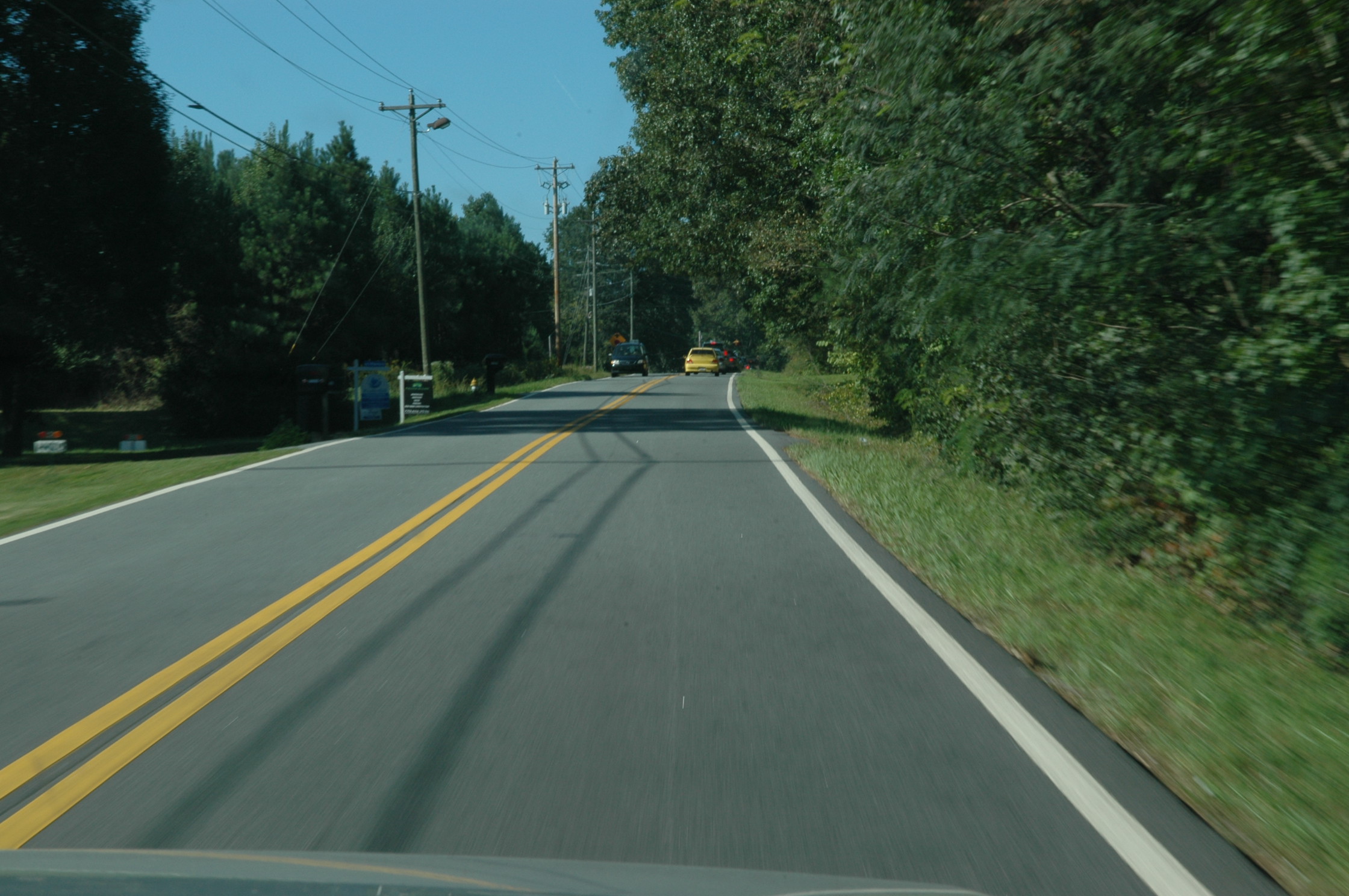
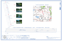
“Sight distance,” also called “line of sight,” is described as how far a person can see at any given point without any obstructions. Sight distance can play a critical role in traffic disputes or accidents because a driver can only be held responsible for how he/she responds within a reasonable line of sight. A sight distance survey graphically depicts this line of sight, expressed in a straight line from a given point, taking into account the horizon, curves and grades of the road to show how far a driver could reasonably see from that point.
WHEN IS SIGHT DISTANCE SURVEYING NEEDED?
Sight distance surveys are most commonly used as evidence during traffic disputes in court—for example, to prove fault (or lack of it) in a collision, or to dispute a traffic citation. In the example survey found here, the client entered this survey as evidence in a speeding ticket court case to argue that the police officer was not visible within 500 feet, as required by Georgia Law when operating radar.
Sight distance surveys can also serve non-court related purposes. For example, local authorities may require site development projects to conduct a sight distance survey to ensure a safe line of sight along roadways as building are constructed, or to ensure acceptable sight distances when constructing new roadways.
For more information about sight distance surveying or other types of forensic surveys, contact Georgia Land Surveying today.