Similarly to residential properties, if the commercially-zoned land you are buying sits on a known flood plain, you may need to provide current elevation certification to determine the amount of flood insurance you’re required to carry on the property. Georgia Land Surveying has plenty of experience in meeting the stringent FEMA requirements for accuracy in certifying the elevation of your land in relation to SFHA zones.
WHY ELEVATION CERTIFICATION IS NECESSARY
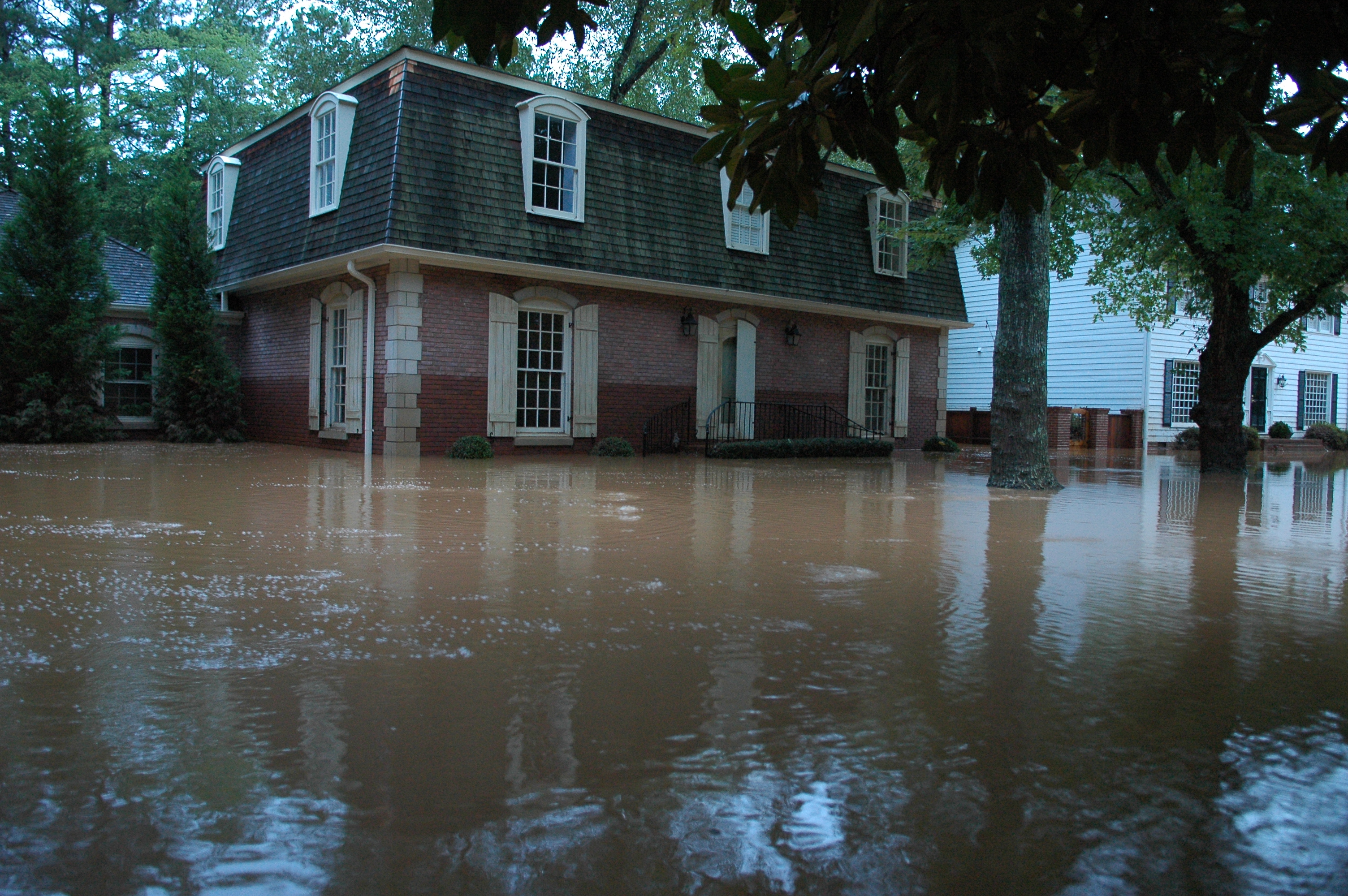
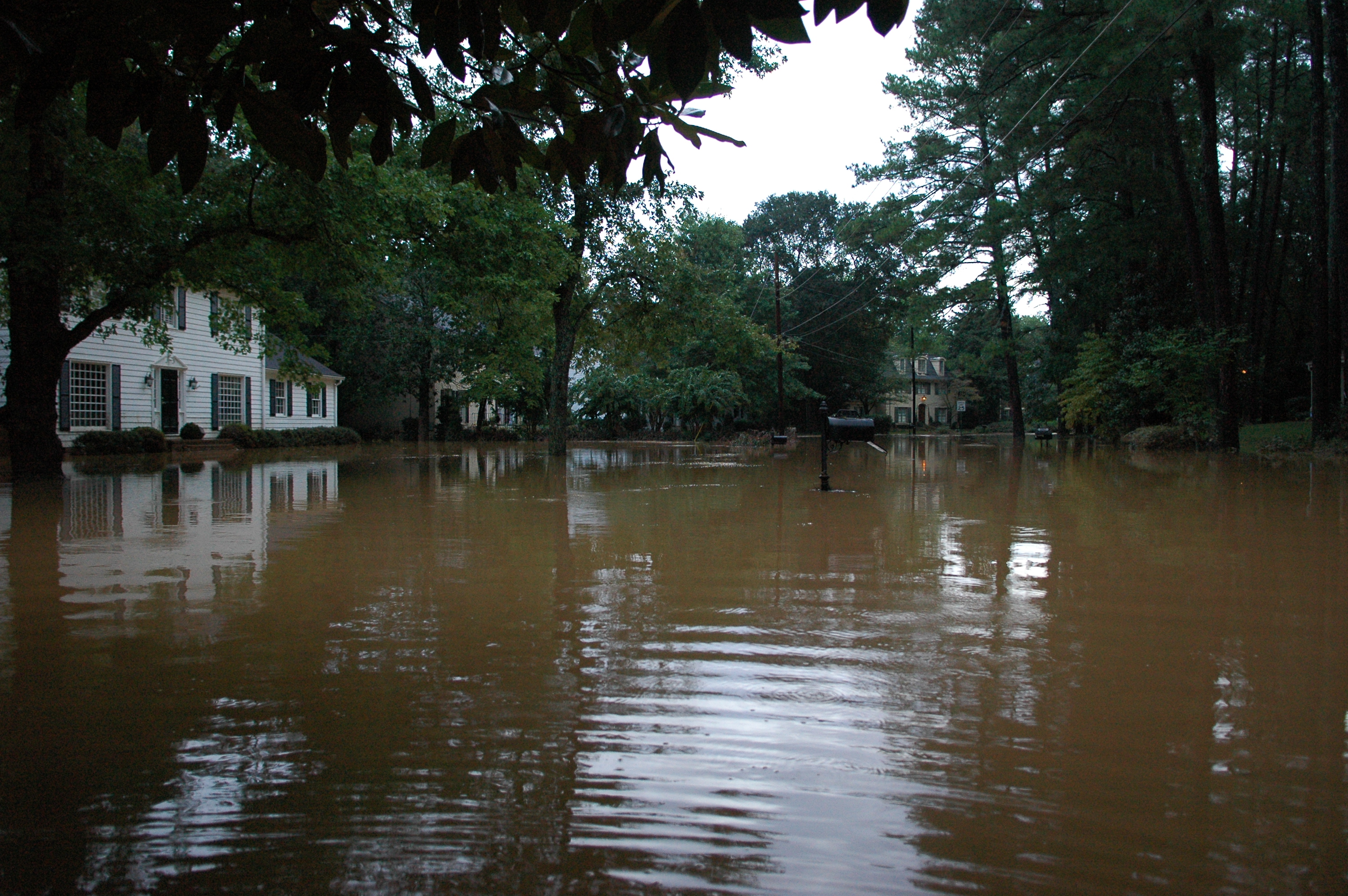
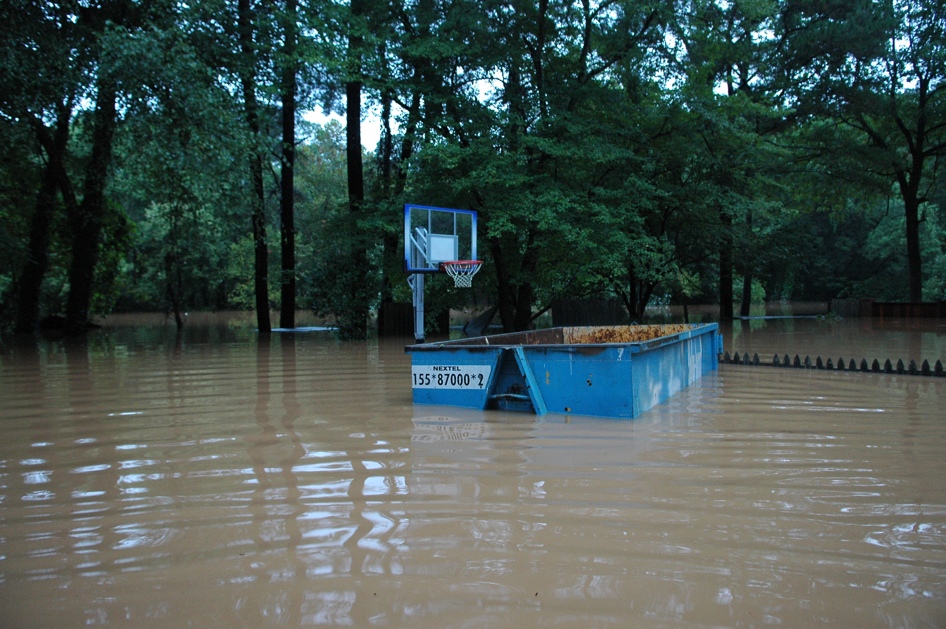
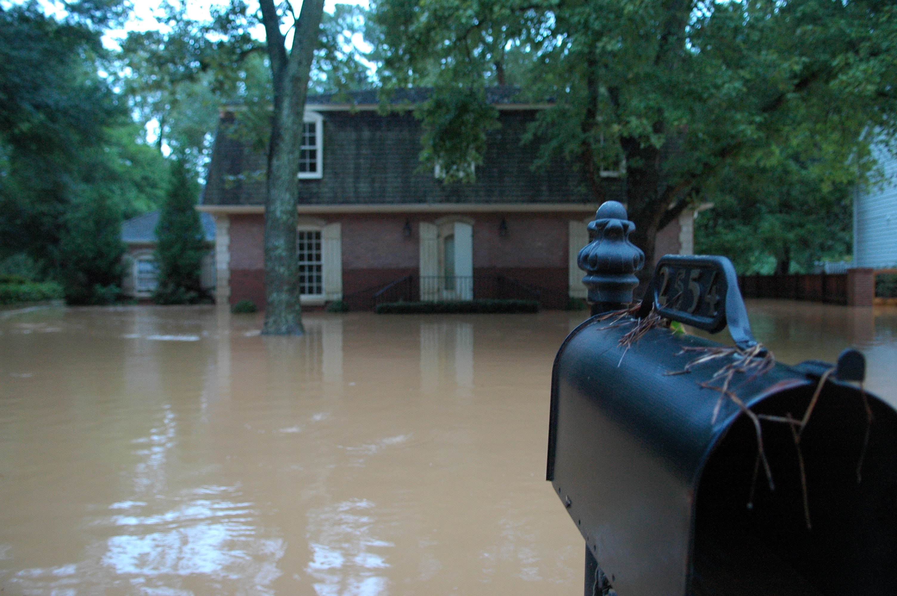
While no one can truly predict when and where flooding will occur, the government regularly identifies and maps areas of land that are vulnerable to flooding, based on previous history. These maps are revised all the time as flood patterns are identified and refined, which means a plot of land that was not zoned for flooding 10 years ago may be in a flood zone now, and vice versa. This is why elevation certification must be updated on occasion.
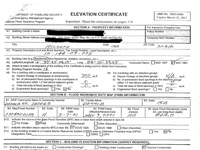
Generally, FEMA requires flood insurance to be purchased for any land on which flooding is expected to occur within the next 100 years (known as a Special Flood Hazard Area, or SFHA). The more likely flooding is to occur, the higher the premiums will be. To determine where your commercial property sits in relation to flood-prone areas, a registered surveyor must conduct an in-depth field analysis, determining the elevation of the land and any current buildings upon it. From this data, the surveyor pinpoints the location of the property on a Flood Insurance Rate Map (FIRM) and fills out a FEMA elevation certificate, a technical form of approximately fifteen pages, which is used to determine how much flood insurance will be required (if any).
WHEN IS ELEVATION CERTIFICATION REQUIRED?
If you are purchasing commercial property with a current elevation certificate (EC) on file, you will probably not be asked to provide a new one. However, you may be asked to obtain a current EC in the following situations:
- If you are planning significant structural improvements or modifications on the property
- If FIRM maps had not been drawn in your area the last time the property was sold or transferred
- If there have been recent updates to the FIRM maps, and your land may now be on a flood plain
- If there is a chance that your property’s flood rating has been lowered, and you want to request a letter of map amendment (LOMA) to change your property status and perhaps lower your insurance premiums
For more information on FEMA elevation certification for commercial properties, contact Georgia Land Surveying here.