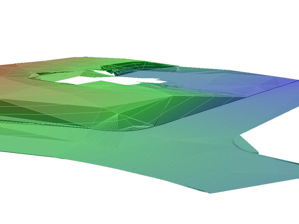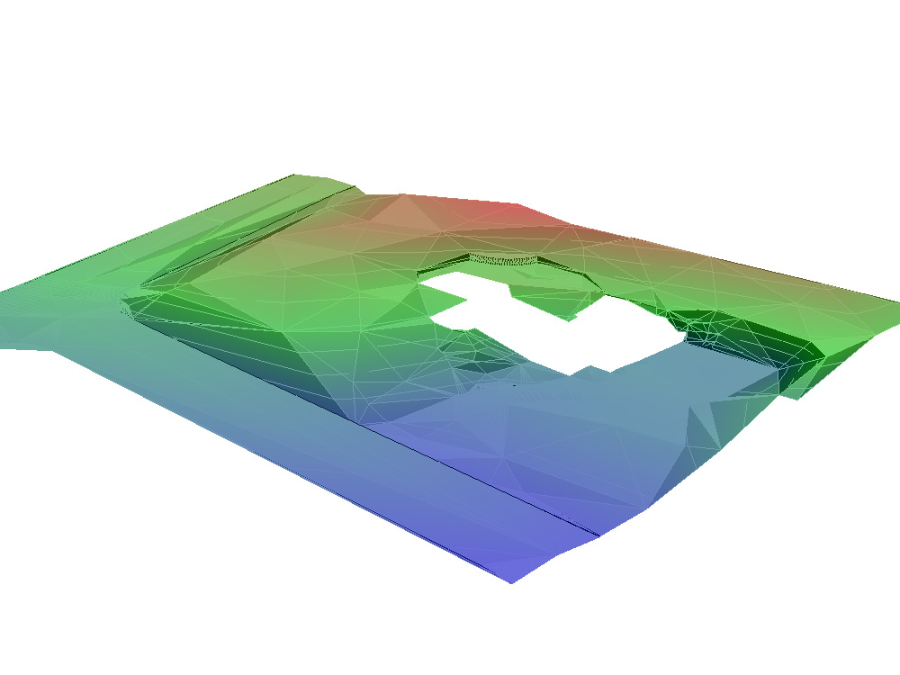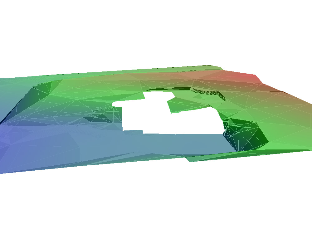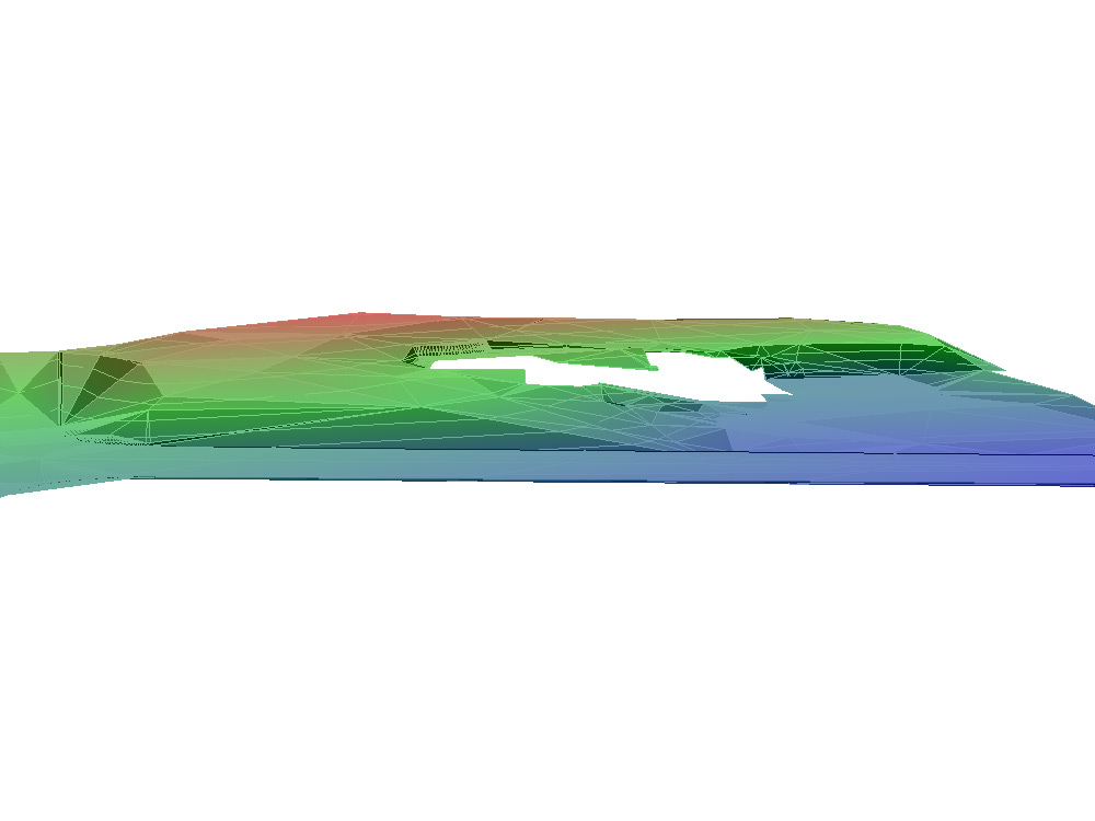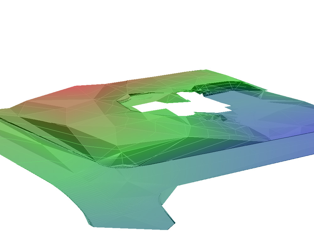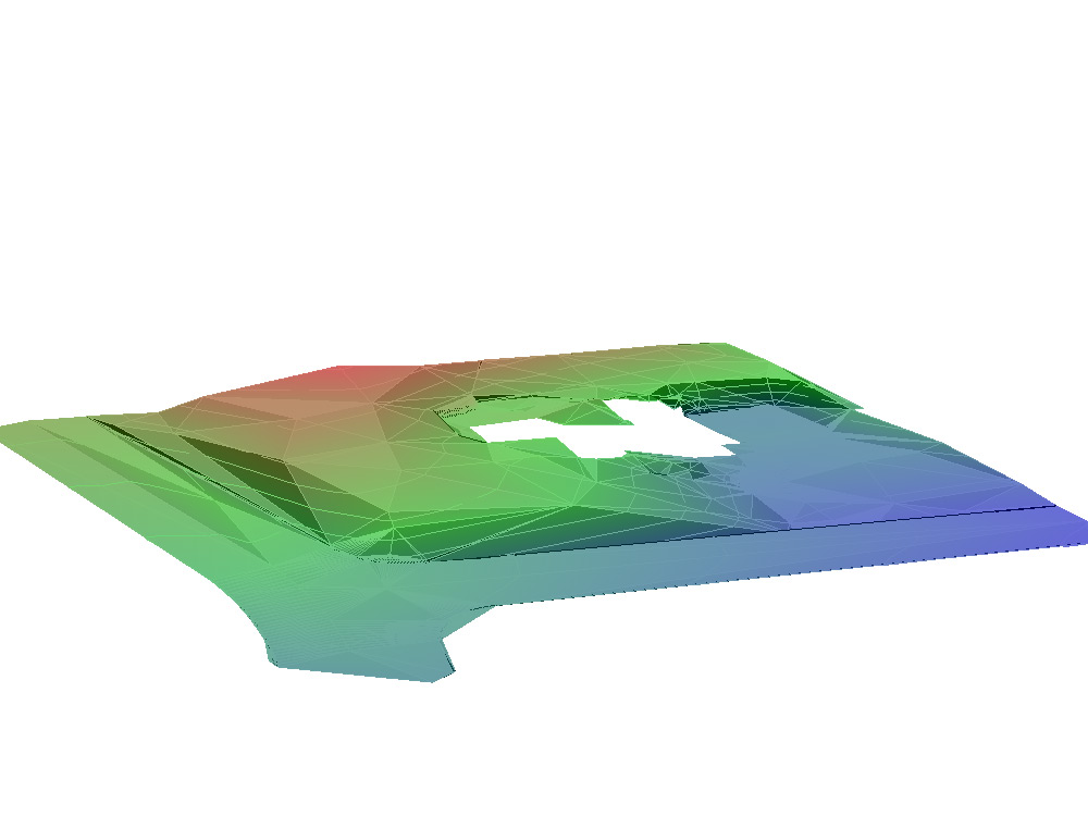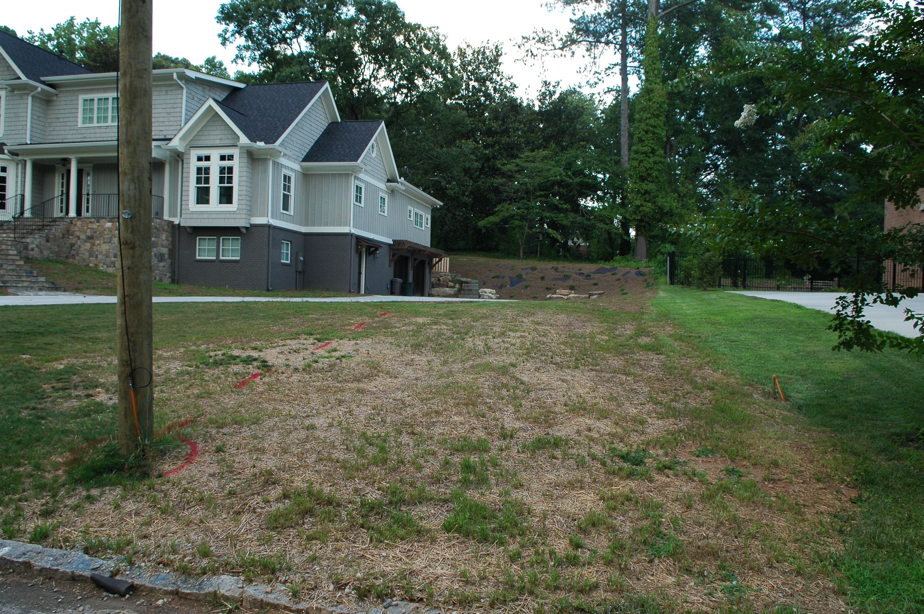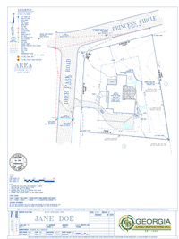
For a deeper understanding of the various physical features on your property, Georgia Land Surveying can provide an accurate and detailed topographic survey of your land. Sometimes called a “contour” survey, this type of survey is used to determine the elevations throughout a piece of property—that is, taking into account not only the horizontal boundaries of your land, but also the vertical features, both natural and man-made (e.g., trees, hills, ravines, poles, walkways, streams, etc.). A topographic survey can serve a number of vital purposes, but especially if you are planning improvements on your land that could affect the landscape.
WHEN DO YOU NEED A TOPOGRAPHIC SURVEY?
You should have a topographic survey conducted in any of the following instances:
- If you’re planning a landscaping project that could affect natural drainage or other factors
- To identify potential building sites
- To resolve existing drainage or standing water issues on your land without creating new ones
- If you’re planning to install any other drainage or grading features on your land
- As a requirement by local zoning authorities for permits and improvements
WHAT TO EXPECT WITH A TOPOGRAPHIC SURVEY
Georgia Land Surveying will send a surveyor to your property to locate the physical features that exist on site, including natural features such as trees and streams, and man-made features like buildings, roads, manholes, etc. The resulting plans will include all these details, as well as vertical information with the relative heights of the ground and other identified features.
Before embarking on any major construction or landscaping project (especially on unimproved land), a topographic survey provides essential data which can help prevent complications further down the road. For more information, contact us today.