Communication surveys can be broken into three parts.
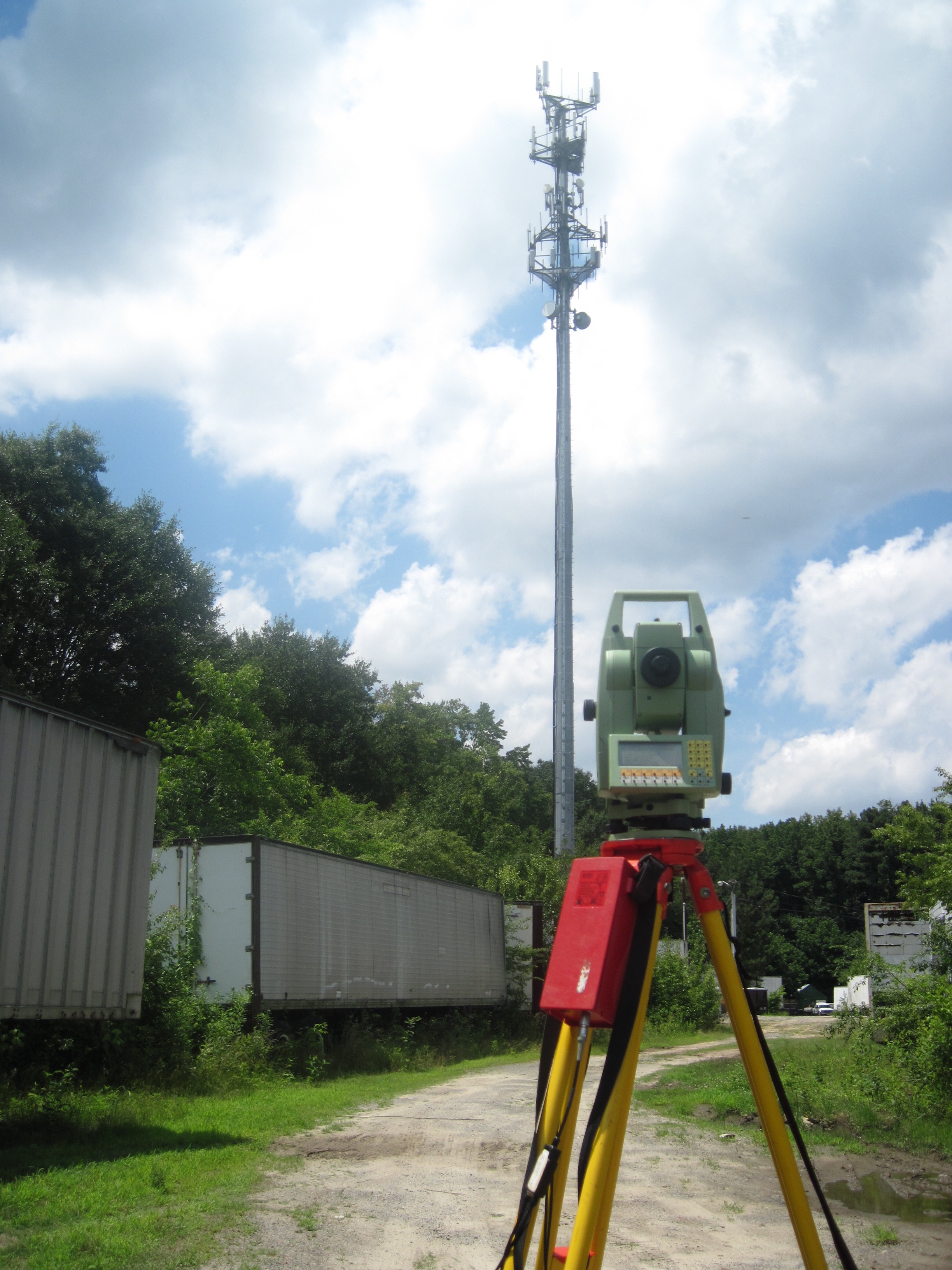
Height Verification
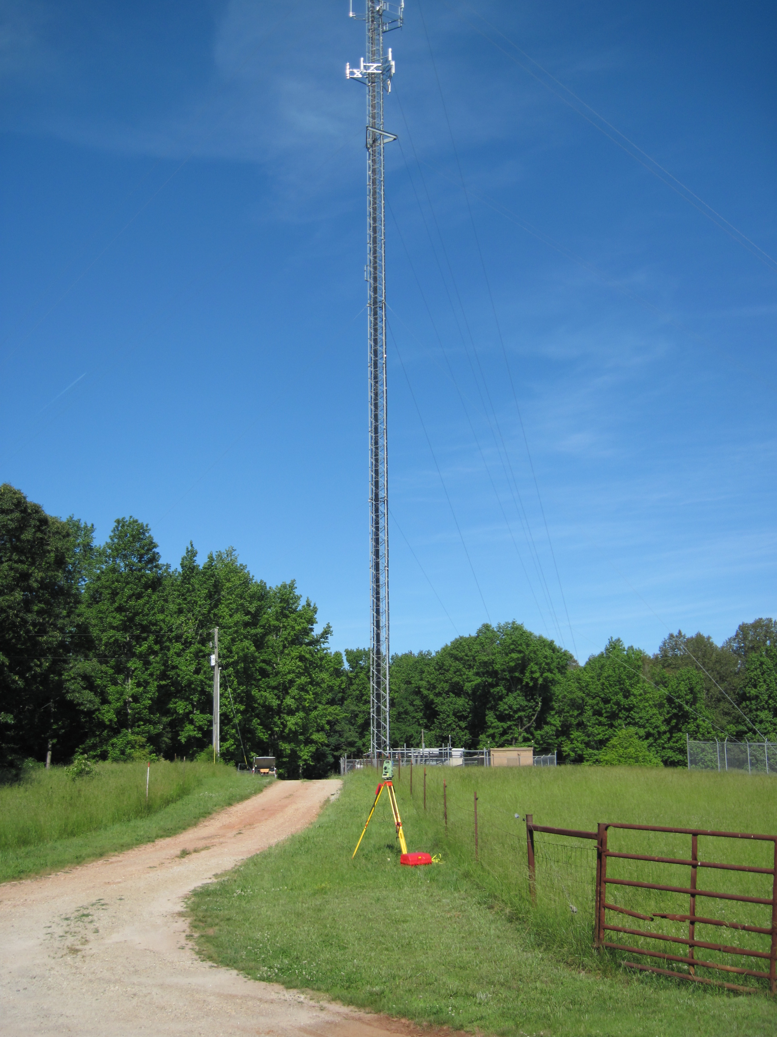
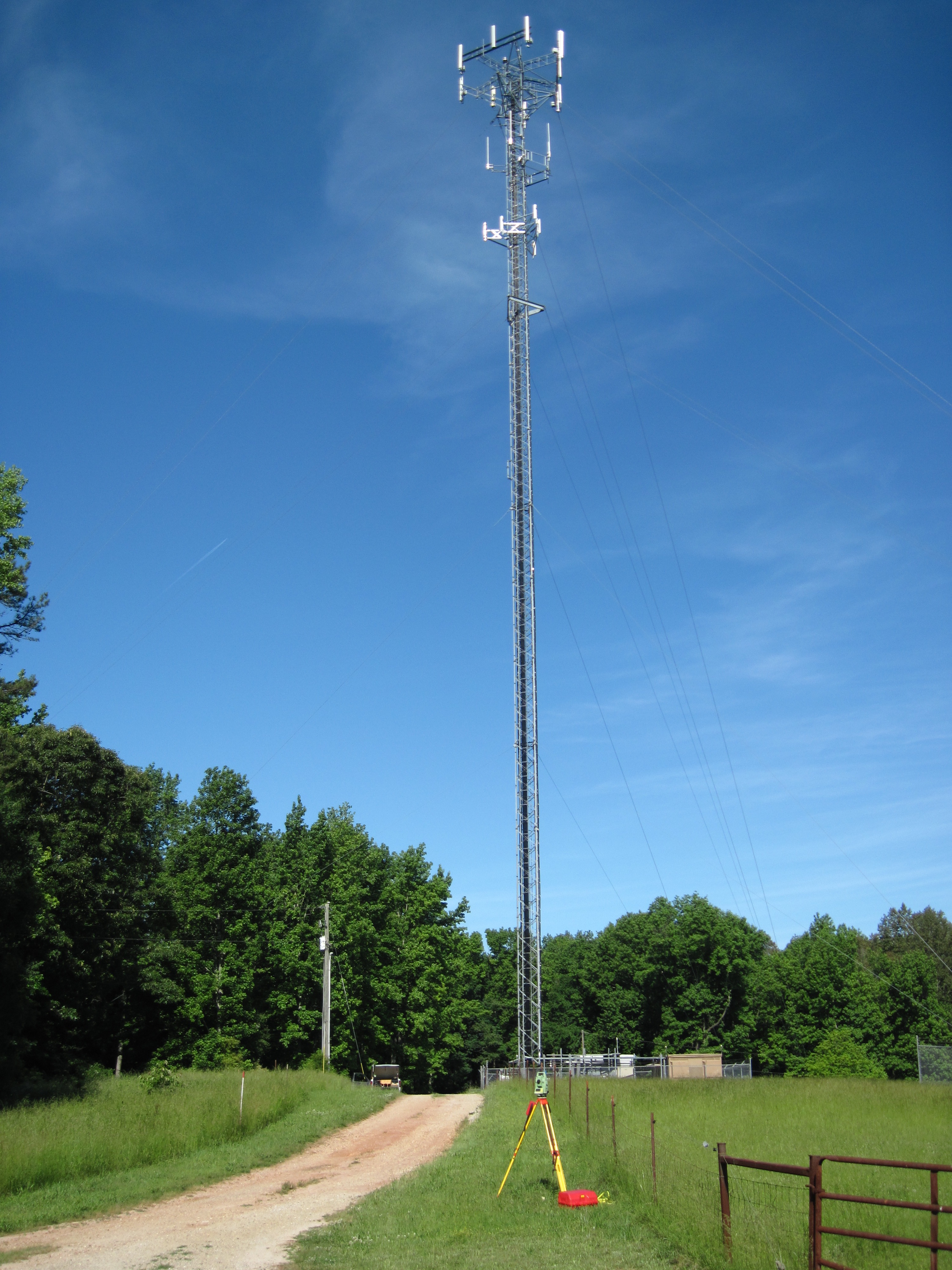
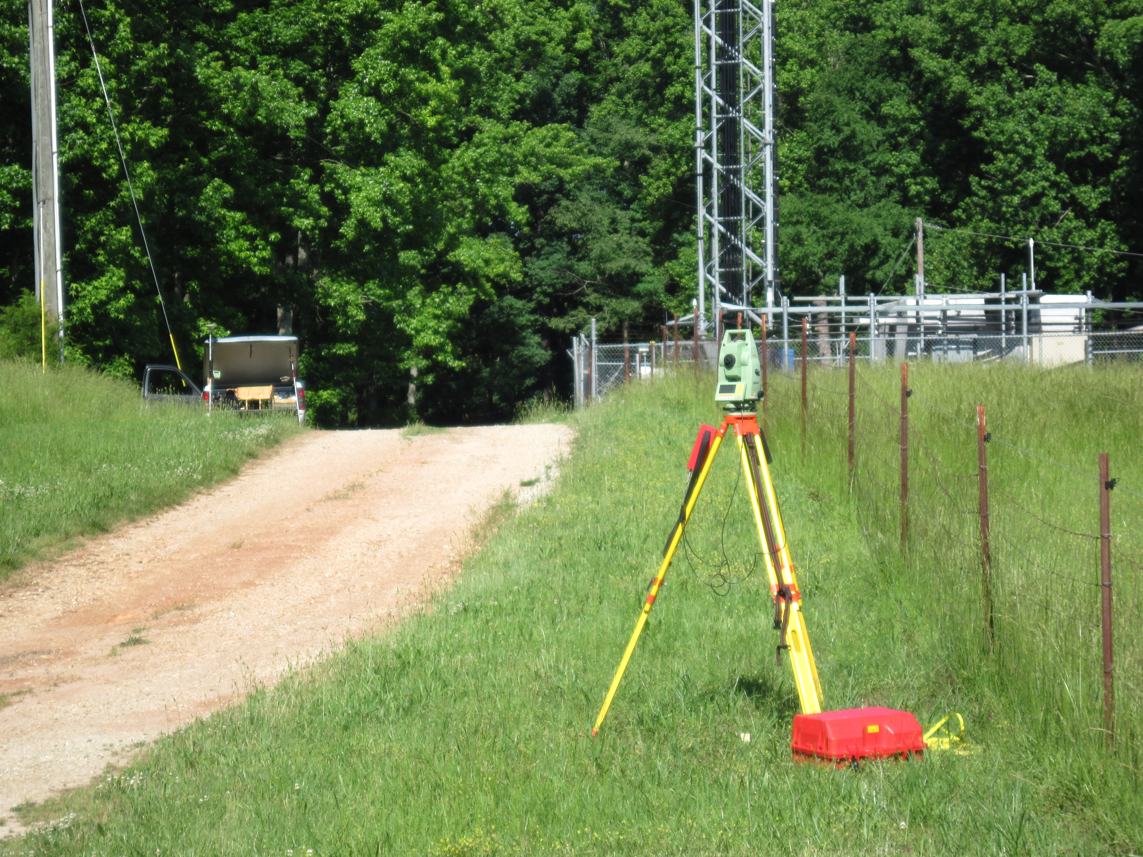
Meets the FAA’s requirement for horizontal and vertical accuracy. Georgia Land Surveying Company can easily and quickly perform a survey meeting the FAA’s highest accuracy level of 1-A. This survey consists of a letter specifying the highest appurtenance, the top of the cell antenna, total height, and any other specifics that might be requited all based on mean sea level and referenced to WGS84 Latitude and Longitude.
| Horizontal Code Tolerance | Vertical Code Tolerance |
|---|---|
| 1 +20 ft. (6 m) | A +3 ft. (1 m) |
| 2 +50 ft. (15 m) | B +10 ft. (3 m) |
| 3 +100 ft. (30 m) | C +20 ft. (6 m) |
| 4 +250 ft. (75 m) | D +50 ft. (15 m) |
| 5 +500 ft. (150 m) | E +125 ft. (38 m) |
| 6 +1,000 ft. (300 m) | F +250 ft. (75 m) |
| 7 +1/2 NM (900 m) | G +500 ft. (150 m) |
| 8 +1 NM (1800 m) | H +1,000 ft. (300 m) |
Development Survey
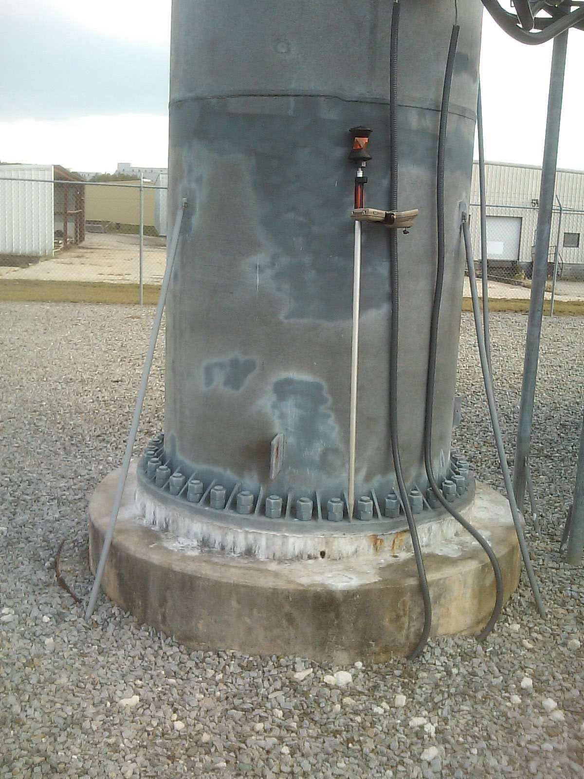
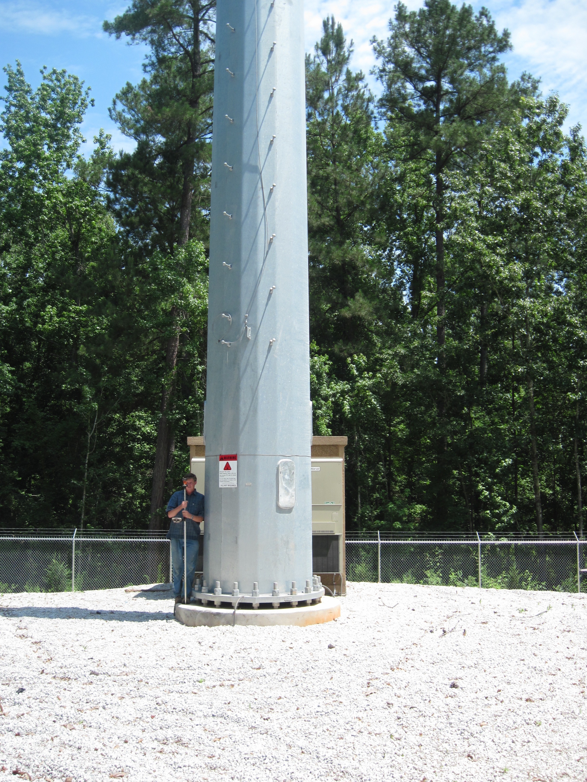
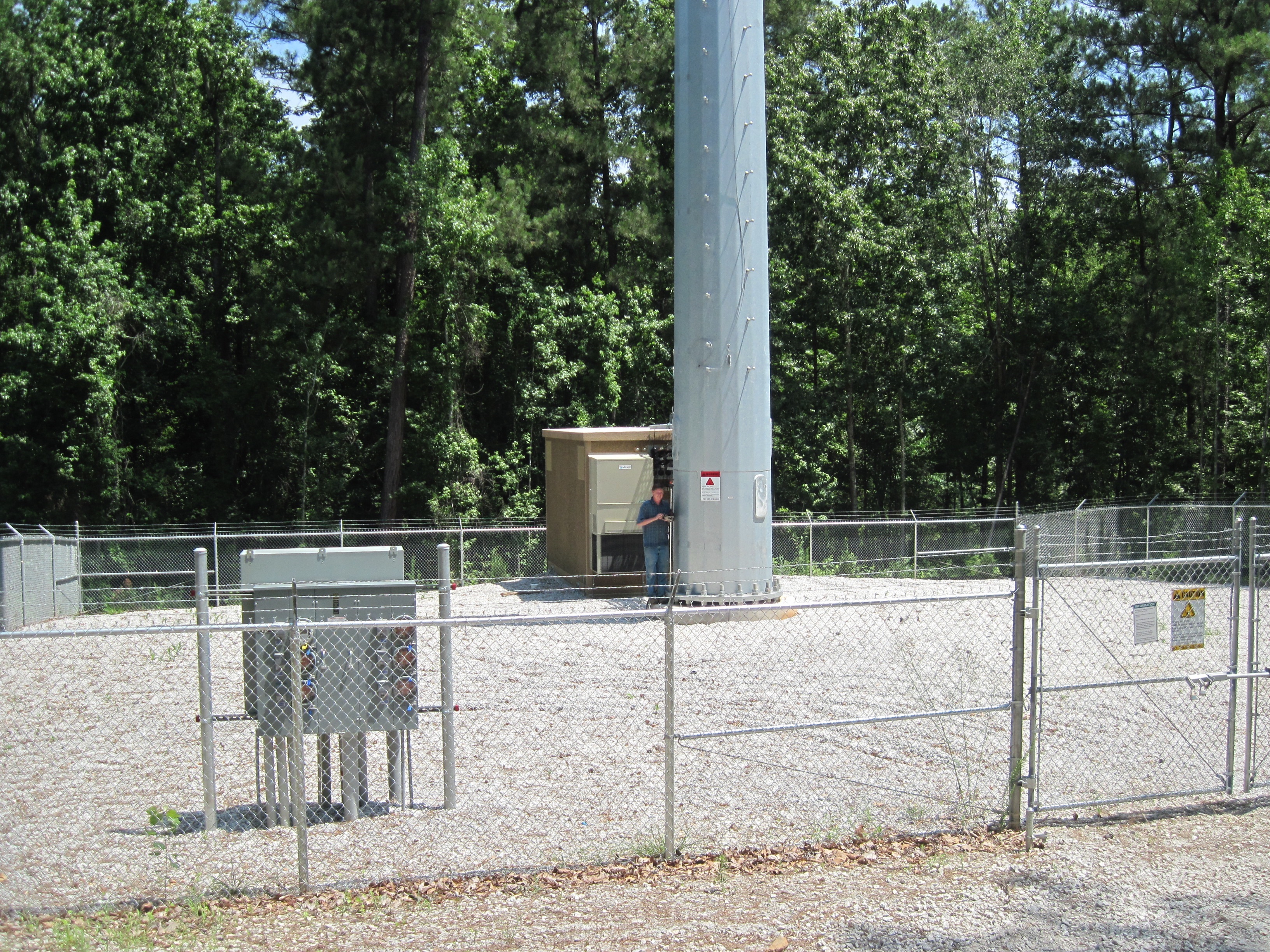
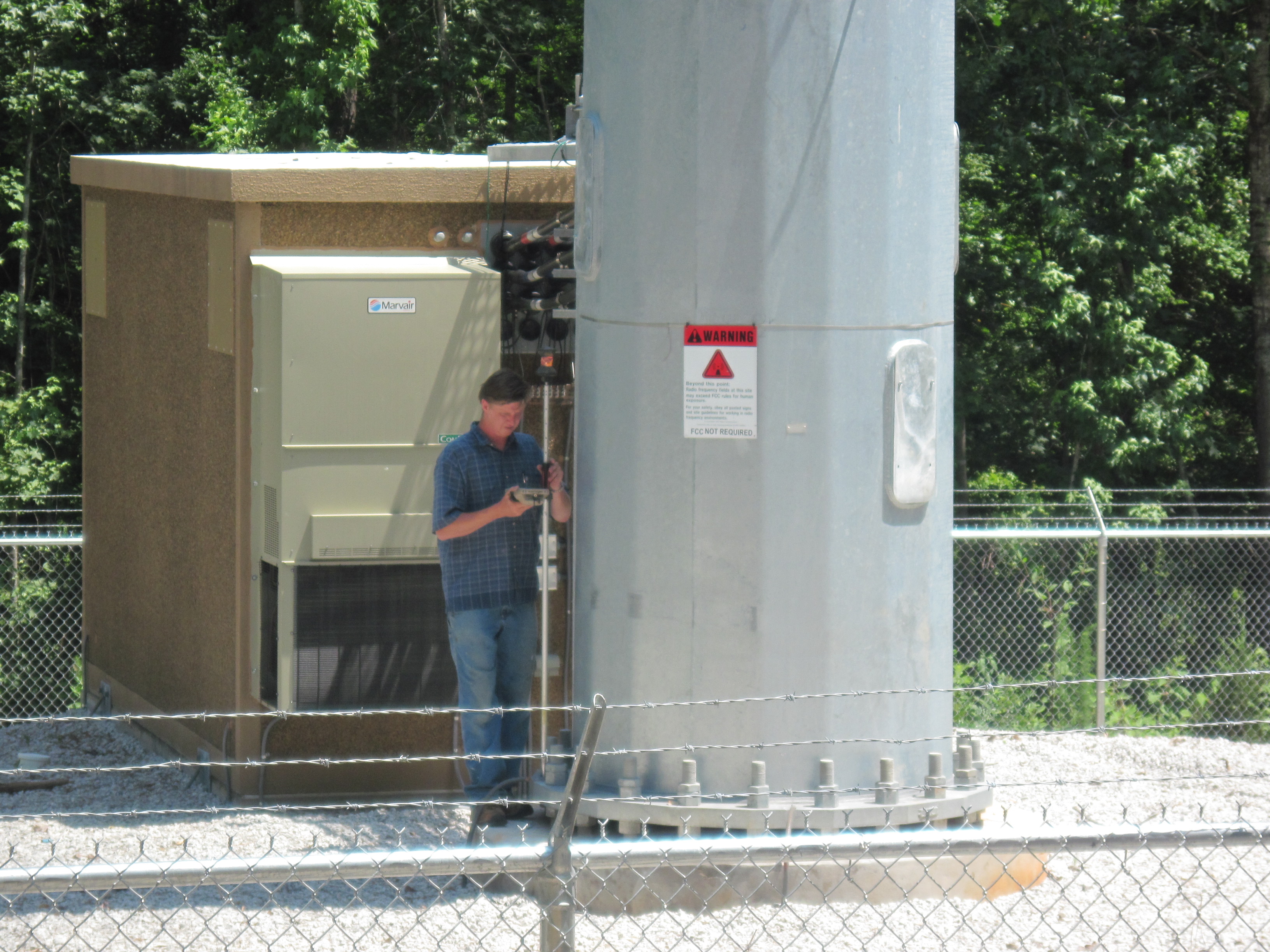
Cellular Tower development surveys are surveys prepared for the construction of cellular towers, just like the name implies. During the course of this type of survey, we will define the limits of the lease area for the carrier, prepare a topographic survey of the entire area, and place monuments at the lease areas corners. We will identify the ingress-egress easement for the site if necessary and we will establish the latitude and longitude of the site in order to meet FAA requirements.
Cell Tower ALTA
Cell Tower ALTA Survey includes an ATLA boundary survey, which shows the boundaries of the cell tower and its associated land parcel, in addition to information on easements, or the right to cross the cell tower land. These easements may be granted to utility companies, local governments, neighboring landowners, or others with an interest in the property on which the cell tower is located. This survey examines all legal descriptions for access and utilities on the tower itself and the surrounding land associated with the tower. A cell tower ALTA survey also shows the tower itself and any adjacent improvements to the land.