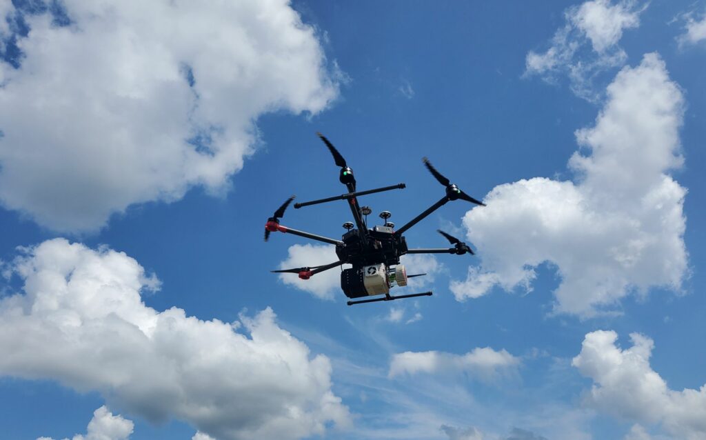
UAV LiDAR
One of the most exciting new technologies in land surveying is LiDAR, and Georgia Land Surveying has been perfecting the use of LiDAR for over five years. With over 100 projects completed across the South Eastern United States, Georgia Land Surveying is ready to serve you. We are currently using one of the most accurate sensors made. A Riegl VUX-1. With this sensor, we are able to scan up to 500 acres per day with a precision of 0.03’.
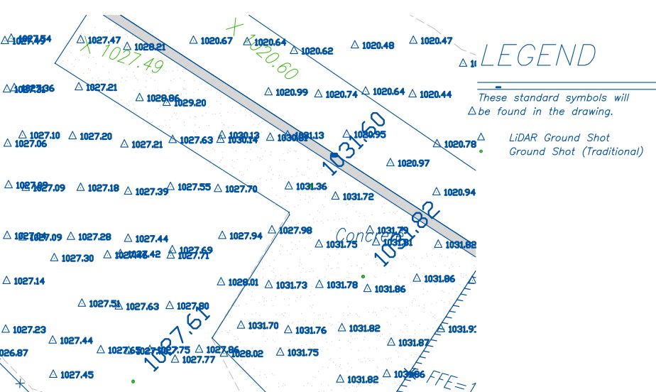
When it comes to accuracy you might wonder just how good the data is. Below is a plot of a scanned area. The site was flown and a density of 90 points per meter was generated from the LiDAR scan. From that, we decimated the cloud down to 3 points per meter, and then we took ground shots using a Leica TS16 total station. What we found was that on hard surfaces we were with 0.06′ feet and in grassy areas we were within 0.09′. With this type of accuracy, we can meet the national mapping standard for 1-foot contours.